I would like to announce a new weekly blog feature: posts from my years writing for The Examiner, in my role as the Atlanta Nature Examiner. Now that The Examiner has made viewing its posts a bit like walking through a minefield (with not only pop-ups, but pop-unders, pop-overs, and blaring videos that begin unexpectedly), I am transferring my writings here, one at a time, every Sunday during 2014 (and perhaps beyond). I hope that you enjoy them. For those that are courageous enough to try to view them in their original location (along with all the others not yet transferred), they can be found here.
This article was originally published on April 20, 2010.
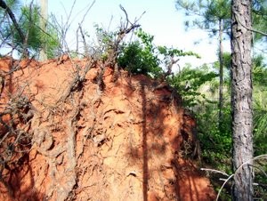
Georgia red clay covers the roots of a loblolly pine in Chattahoochee Hills, Georgia.
Once upon a time, the Piedmont of Georgia was blanketed in a rich, black topsoil, covering the rolling landscape to a depth of between four inches and a foot, and in places, even more. Rich in organic matter, this “A horizon” (as the upper layer of a soil profile is called) nourished a forest of predominantly oak, hickory, and pine.
Beneath the topsoil was a nearly infertile “B Horizon” of what is now called Georgia red clay. Leached of nutrients including calcium, magnesium, and potassium, the layer was stained red from iron oxide (rust). Because of this leached, clay-rich layer, the soil would have been classified as an ultisol, a soil type common in long-stable, humid temperate forests. The result of thousands of years of intense weathering, ultisols can be found throughout the Southeast.
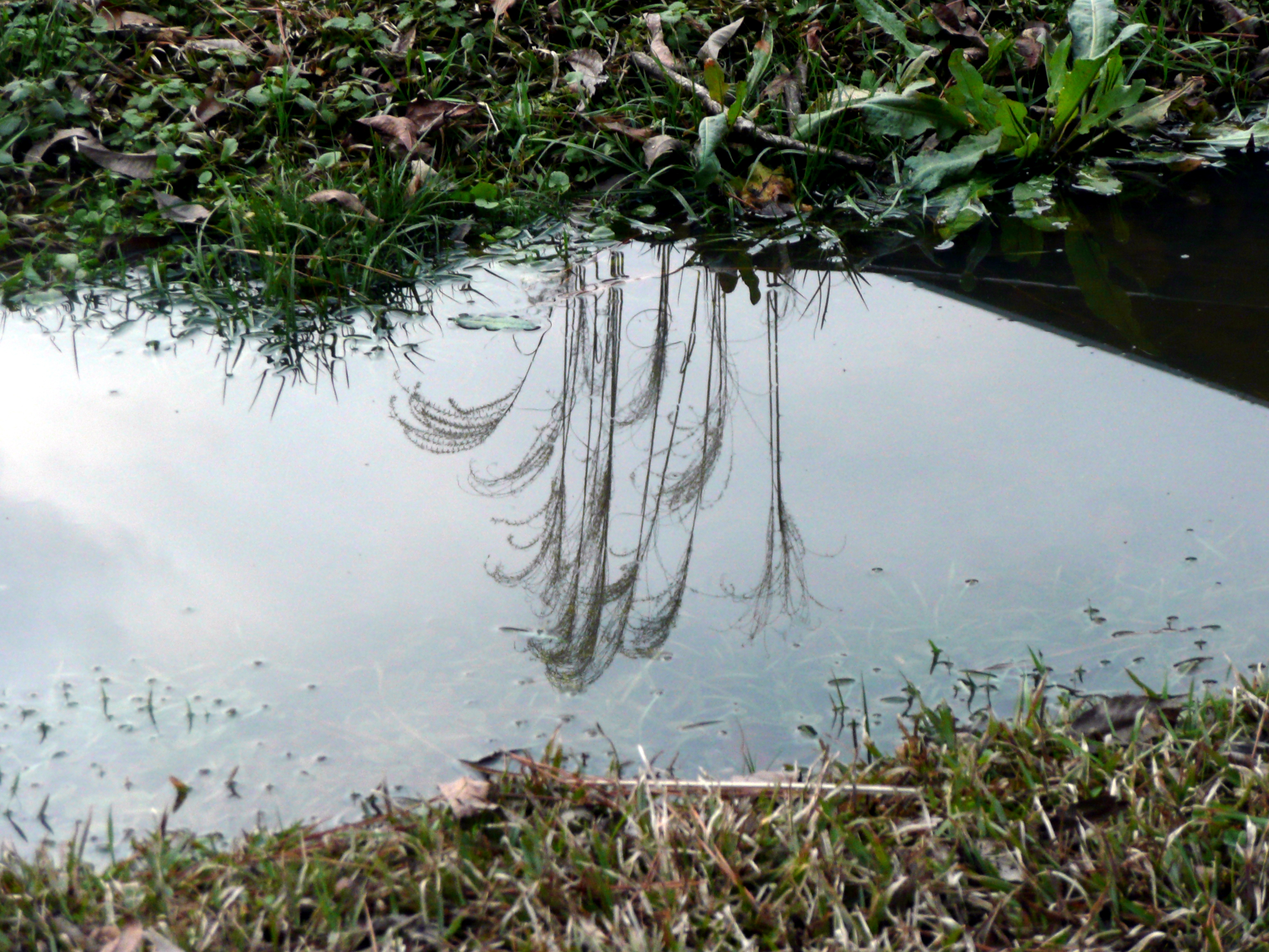
But then the settlers came and cleared the land. Plantation owners and sharecroppers planted row crops, especially cotton. The result was dramatic soil erosion. Enormous gullies formed in abandoned fields, carrying the topsoil away into rivers like the Chattahoochee and the Oconee, and eventually into the Atlantic Ocean and Gulf of Mexico. The A horizon was lost across nearly every acre of the Georgia Piedmont.
Now all that remains is the Georgia red clay. Referred to as a “cultural icon” by a failed General Assembly bill in 2006 that would have designated it as the official soil of Georgia, it is a soil without a top layer, stripped of most of its nutrients. Nowadays, farmers apply hefty amendments of fertilizer before the soil will yield much. A local organic farm here in Chattahoochee Hills, where this author resides, trucked in large piles of compost in order to make the soil fertile enough to plant. Left alone, somehow the red clay is sufficient to grow a forest composed principally of sweet gum and loblolly pine.
The topsoil, meanwhile, has been lost, perhaps forever. Maybe, given a couple thousand years of careful stewardship of the land, it can be restored to the parts of the Piedmont not covered over with asphalt or buildings. Meanwhile, it seems fitting to offer at least a few humble words in its memory.