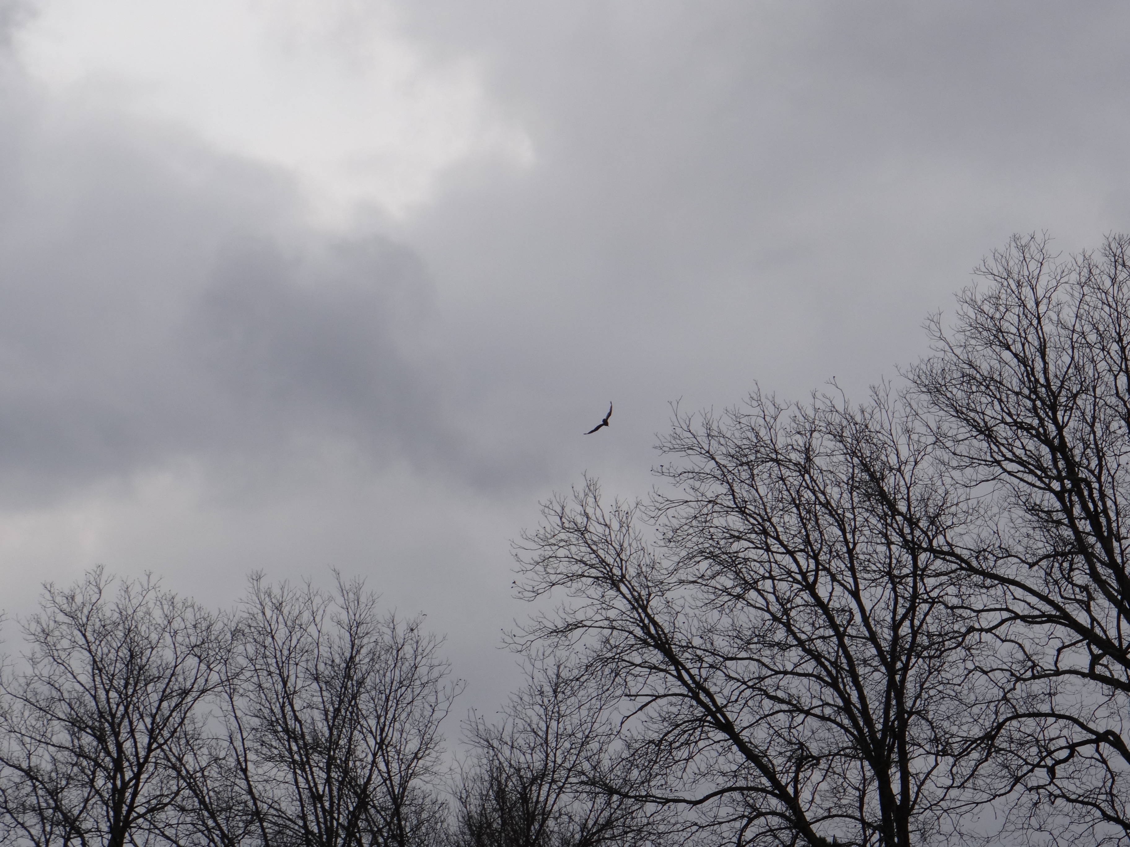
Measuring Piney Woods Church Road, 25 December 2013.
Measuring Piney Woods Church Road, 25 December 2013.
“The journey of a thousand miles begins beneath one’s feet.” — Lao Tzu
Where does the journey of 0.44195 miles begin? Answer: At Rico Road, or at Hutcheson Ferry Road, depending which way one is headed — southwest or northeast.
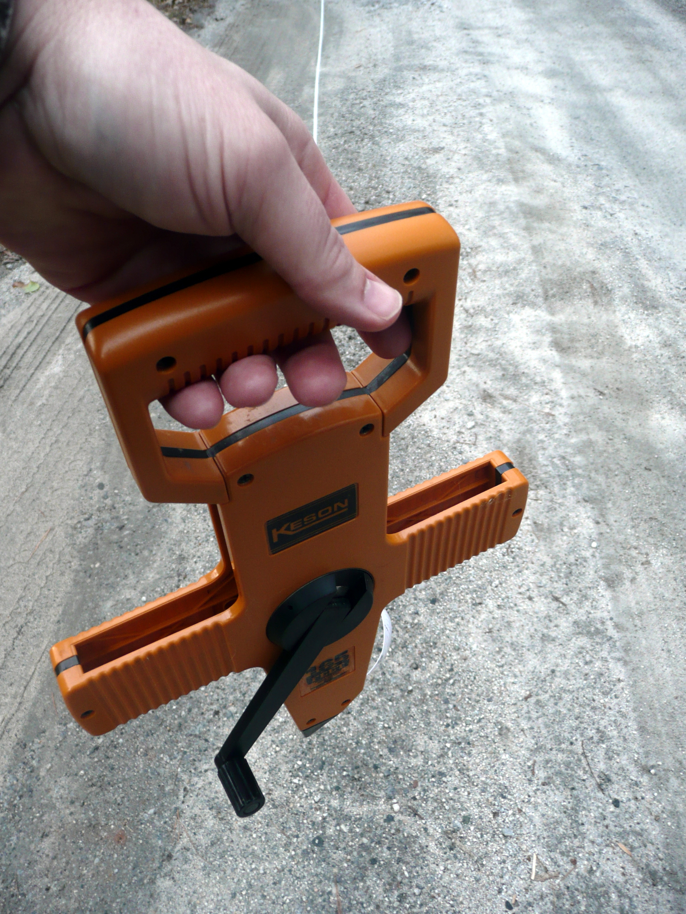
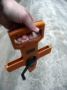
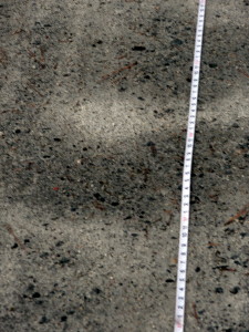
Yesterday, armed with a 165-foot measuring tape and aided by my wife as trusty field assistant. I ventured out to Piney Woods Church Road, to measure the extent of my daily journey in the year ahead. I am not quite sure why I decided to measure the road’s distance. It’s length has long been an object of mild curiosity to me, given that I have walked it with my wife and our various dogs over a thousand times in the past seven years. But, as my GIS-trained wife wisely noted, I could obtain a fairly accurate measurement without leaving the computer, thanks to Google Earth.
Part of my inspiration came, as it so often does, from Henry David Thoreau. In Walden, Thoreau explained his decision to sound the depths of Walden Pond. “There have been many stories about the bottom, or rather no bottom, of this pond, which certainly had no foundation for themselves,” Thoreau observed. “It is remarkable how long men will believe in the bottomlessness of a pond without taking the trouble to sound it.”‘ And in a similar way, I have journeyed Piney Woods Church Road so many times, and never set out to find out its actual distance.
There is also a term in the remote sensing field, “ground truthing,” which refers to double-checking measurements and observations made from satellite images or aerial photographs by going into the field. I am intrigued by the phrase, because it acknowledges (in this age of technological wonders) the benefit of walking the ground and measuring the road itself.
After the first couple of 165-foot increments (measured very slowly, unwinding the tape its full length, then winding it up again and moving on), we fell into a rhythm. I held one end of the tape, my wife the other. In turns, we would walk the full distance, pulling the unrolled tape behind us. When it was my turn to stand and hold the tape still, I would listen to the shrill whistle of the fiberglass tape sliding along the gravel, breaking the stillness of the late afternoon air.
Our last measurement was only a partial one. After traveling fourteen times the length of tape from where we began along Rico Road, the last tape length was only 23 1/2 feet, to the edge of Hutcheson Ferry Road, where the stop sign reminded us to go no further. The total distance, in feet, was 2333 1/2. Taken twice (out to Hutcheson Ferry Road and back to Rico again), my daily journey in 2014 will be 4667 feet, or 0.8839 miles. There is an additional distance, of course, from my back door to where the road begins. Perhaps I will measure that, too. Someday….